Aunt Pattys Pond
East Dennis
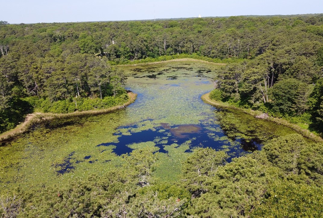
Aunt Pattys Pond is a shallow, 9-acre pond that is owned by the Dennis Water District. It is located off Greenland Circle in East Dennis.
Access
Aunt Pattys Pond is located in East Dennis between Setucket Road to the south, the Dennis Pines golf course to the west, and Greenland Circle and Gold Finch Lane to the north and east. The pondshore and pond are under private ownership by the Dennis Water District. The pond, being less than 10 acres, is not a State-listed Great Pond so access and use are subject to the Water District’s regulations.
Ecology
Information coming soon.
History
In 1962, a committee was formed to look into building a municipal golf course in Dennis. They proposed the purchase of about 100 acres of land surrounding the town forest (48 acres located north of Setucket Road between Rt. 134 and the Brewster line) and the use of the town forest for the golf course as well. The proposed location touched Funn Pond, Cedar Pond, and Aunt Pattys Pond.
As early as 1964 and before the course was opened, concerns were raised regarding how to guarantee a water supply for the golf course. Aunt Pattys Pond was to be tied into the system but it was determined that the pond was too shallow to be worth tapping.
In the early 1970’s, the pond was acquired by the Dennis Water District for an additional well. In 1972, a 66-lot subdivision was approved on Greenland Circle between Cedar Pond and Aunt Pattys Pond. A few years later, another four-lot development was approved on Gold Finch Lane, off Airline Road in the Aunt Pattys Pond area.
According to a 1989 report from The Register, the Massachusetts Division of Fisheries and Wildlife bought about 3 acres on Aunt Pattys Pond.


