
Cedar Pond
East Dennis
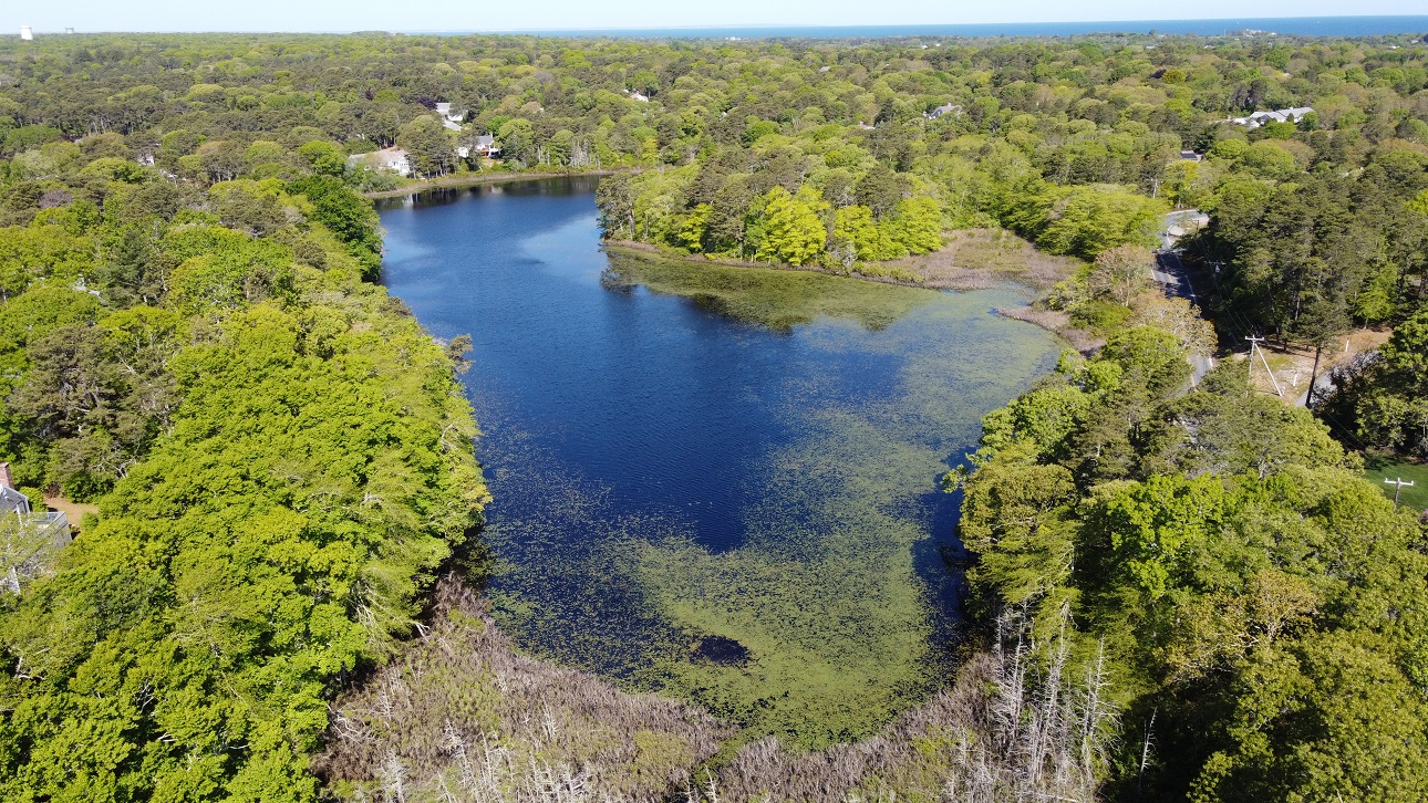
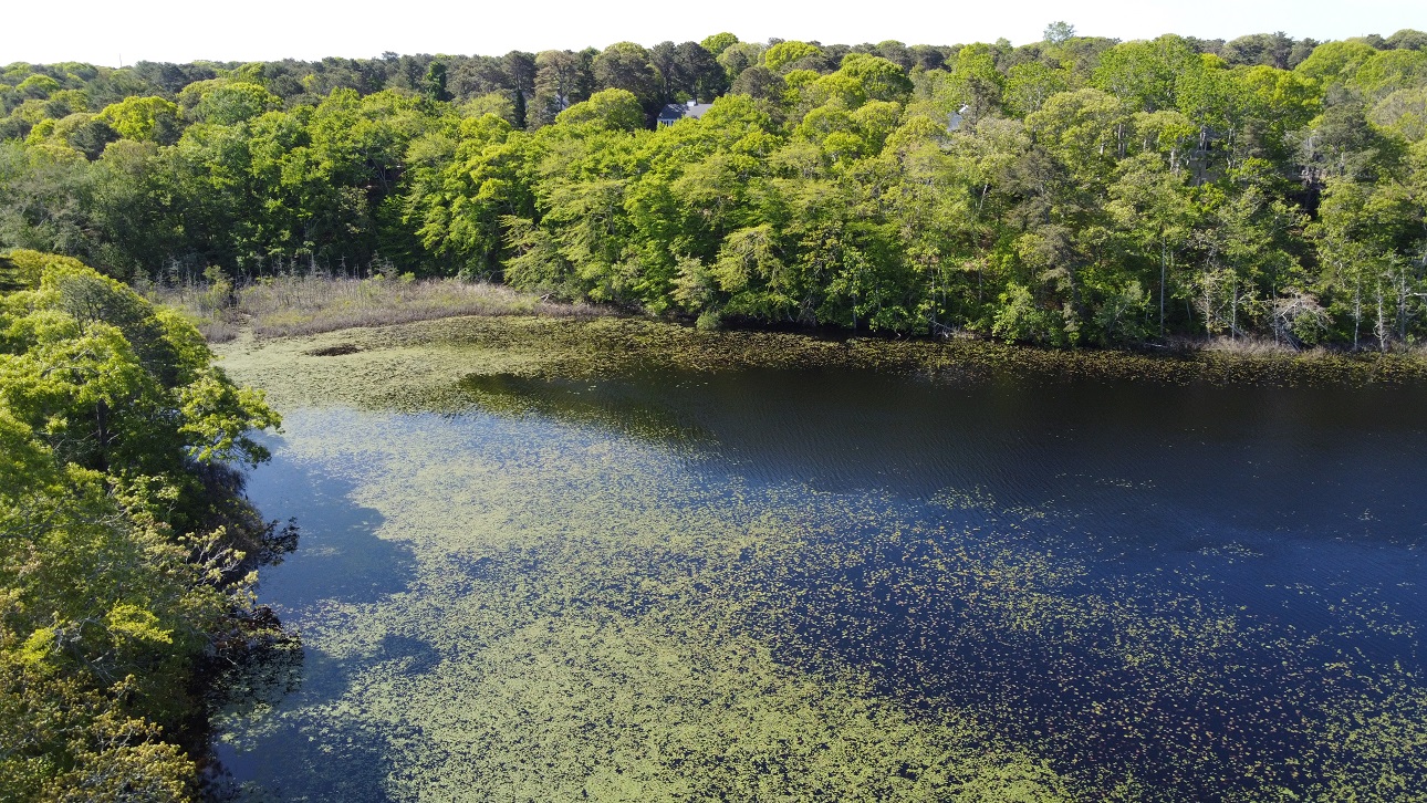
Cedar Pond is a 9-acre pond located to the west of Airline Road and north of Indian Field Drive. Its shoreline is intensively developed, with several residential homes and the Dennis Pines golf course nearby. Water quality is significantly impaired but access for fishing and birdwatching is provided via two conservation areas.
Access
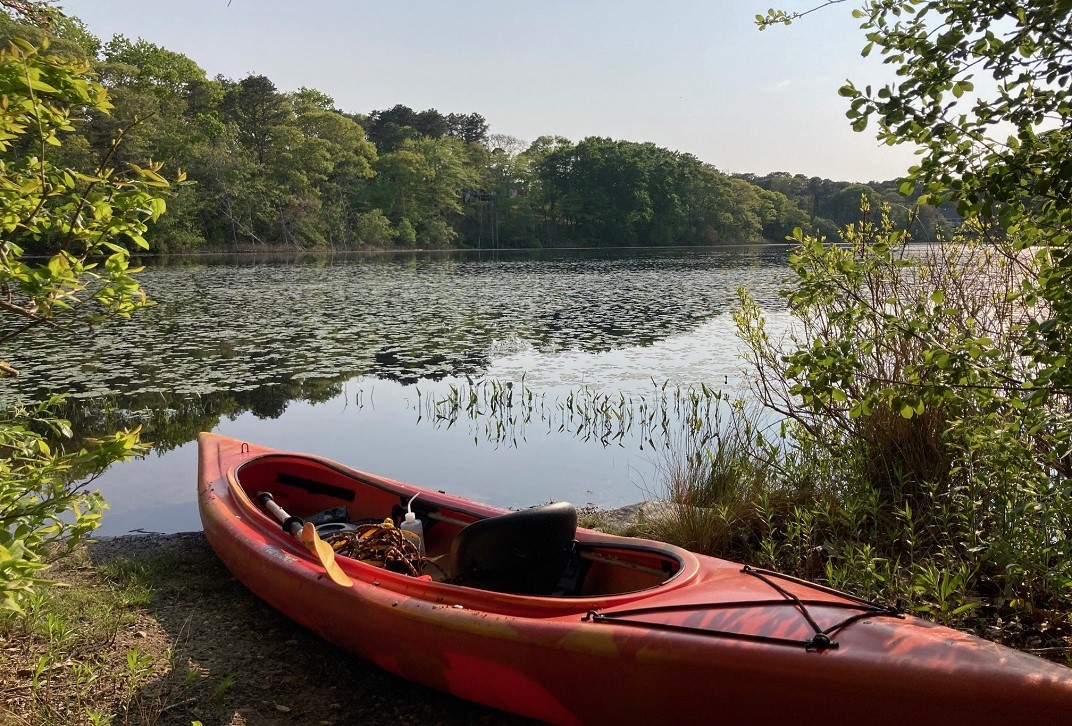
Cedar Pond provides opportunities for fishing and birdwatching and can be accessed via two conservation areas. The first is the Town’s Cedar Pond Conservation Area, a 1.2-acre sliver of land on the eastern edge of the pond, located at 571 Airline Road. The second is the Dennis Conservation Land Trust’s Cedar Pond property at the northwest corner of the pond, located at 143 Cedar Hill Road. Both sites can be used to launch small personal watercraft.
Status
Cedar Pond is a shallow pond with a maximum depth of 14 feet. According to the 2016 Dennis Ponds Report, the water quality of Cedar Pond is significantly impaired, particularly in summer when algae bloomed and dissolved oxygen declined. High nutrient levels are likely driving the impairment and are caused by inputs from septage and fertilizers.
The Dennis Conservation Land Trust recently (2023) began monitoring water quality at Cedar Pond in an effort to understand what is driving its impaired status.
Ecology
Information coming soon.
History
Like many Cape Cod ponds, Cedar Pond was reportedly the site of an icehouse in the late 1800s.
A State survey from the early 1900s reported that the pond had white perch and hornpout (brown bullhead). Anecdotal reports of fishing activity in later years indicated the presence of yellow perch and pickerel (1969) and largemouth bass (1993).
Development in the Cedar Pond area was noted in 1957 when the Planning Board approved a 300-acre subdivision to the north of the pond. In 1972, a 66-lot subdivision to the southwest of Cedar Pond was approved along with an additional 36 lots to the south, some having frontage on the pond.
In 1963, the land to the west of the pond was acquired by the Town of Dennis for construction of a new golf course. In the planning stages for the course, it was thought that Funn Pond would provide sufficient water for irrigation. But in 1965, Funn Pond ran dry and was replenished by pumping water from Cedar Pond, causing it to run dry. A 30-foot well was then dug to draw water from a level beneath Cedar Pond to replenish Funn Pond.
In 1977, the Dennis Conservation Commission raised concern about the lack of public access to ponds and lakes specifically in cases of private developers building near open water. In 1985, the town of Dennis approved the purchase of a 1.2 acre parcel to provide access to Cedar Pond.